Itineraries
Riverside & Rattanakosin Cultural Circuit: A Road-Trip Guide Linking Bangkok’s Riverfront Temples, Chinatown (Yaowarat), and Market/Park Clusters
Plan a distinctive Bangkok road-trip circuit with this detailed guide to Rattanakosin Island’s palace-and-temple cluster, the vibrant Chinatown district, and nearby riverside market and park stops. This itinerary highlights route checkpoints, riverfront piers, transport interchanges, and official planning sources for an efficient, flexible visit.
AI illustration · Wardhead AI · AI-generated illustration
Introduction
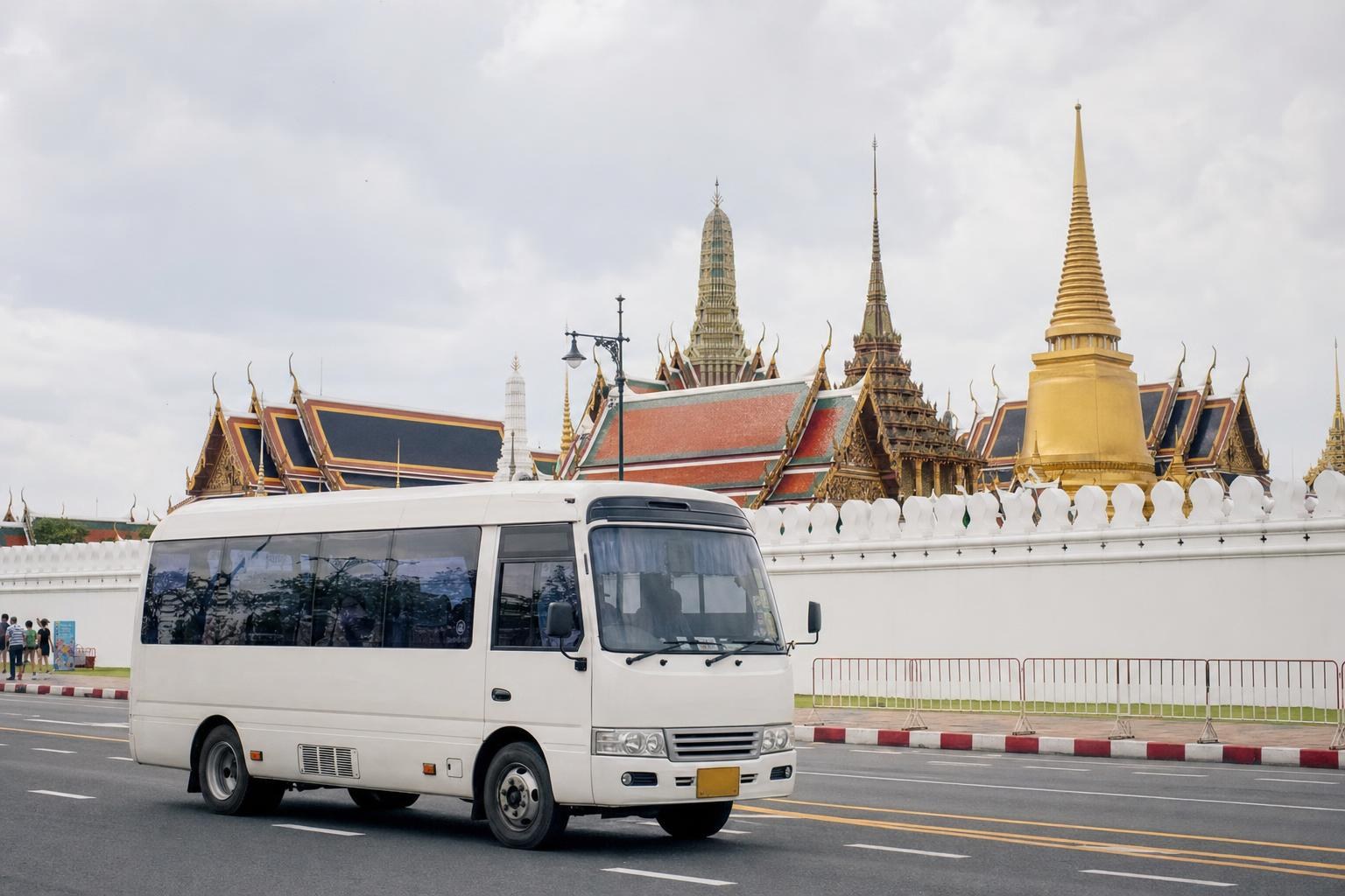
Bangkok, Thailand, is celebrated for its vibrant blend of royal heritage, iconic temples, bustling markets, and dynamic urban neighborhoods clustered along the Chao Phraya River. For travelers seeking a self-guided or small-group road trip, the Riverside & Rattanakosin Cultural Circuit offers a practical loop linking the city’s historic riverfront core, Chinatown (Yaowarat), and nearby market and park areas. This itinerary focuses on named stops, strategic road and river checkpoints, and tips for effective planning—aimed at those using a private car, hire van, or organized minibus. All guidance is drawn from official Bangkok Metropolitan Administration and Tourism Authority of Thailand sources.
Why Choose the Riverside & Rattanakosin Circuit?
This route leverages the compact geography of central Bangkok, where the city’s most significant royal, religious, and commercial sites are clustered within a few kilometers. By grouping attractions along the river, you minimize cross-town congestion and maximize your ability to see major highlights in one well-paced day. The circuit also allows for flexible extension to market quarters or parks in surrounding neighborhoods.
Route Overview and Key Clusters
1. Rattanakosin Island: Grand Palace & Wat Pho Cluster
The heart of historic Bangkok, Rattanakosin Island (often called the Old City), contains the iconic Grand Palace, Wat Phra Kaew (Temple of the Emerald Buddha), and Wat Pho (Temple of the Reclining Buddha). Official tourism listings underscore this area as an absolute must-see for any cultural circuit. Vehicle access from the west or north is possible, with logical checkpoint roads such as Na Phra Lan Road and Sanam Chai Road (near Sanam Chai MRT station). Limited parking and restricted local streets mean that drop-off or short-stay parking is often used for visiting these core sites.
2. Chao Phraya Riverfront & Ferry Piers
The Chao Phraya river functions both as a scenic axis and an active mode of transport for visitors. Several key piers line the Old City’s riverbanks, connecting Rattanakosin with Wat Arun (Temple of Dawn) on the Thonburi side. Official sources recommend including a riverside stroll or ferry crossing in your circuit for both views and logistical convenience. Look for major piers such as Tha Tien Pier (for Wat Pho/Wat Arun transfers) and Phra Arthit Pier (for Khao San Road and the north end of Rattanakosin). Private vehicles can often pause near these piers, facilitating quick passenger transfers.
3. Chinatown (Yaowarat): Historic Market Quarter
Immediately northeast of Rattanakosin lies Chinatown, focused on Yaowarat Road. This bustling district, home to gold shops, street food, and shophouse temples, is accessible by car or minibus via Charoen Krung Road or over Phra Pok Klao Bridge. The official TAT advises that the MRT Blue Line’s Wat Mangkon station is a recognized entry point for Yaowarat, which is especially practical when linking a walking segment with a vehicle pickup on major arterial roads. The district’s proximity enables efficient chaining with Rattanakosin stops.
4. Market and Park Clusters for Flexible Stops
While the core circuit covers Rattanakosin and Yaowarat, official route planners and city maps highlight several market and park options just beyond:
- Pak Khlong Talat (Flower Market), south of the Grand Palace, for a quick roadside or walking visit.
- Saranrom Park (a quiet green pause near the palace zone).
- Extensions north to Chatuchak Weekend Market (further, suitable for a longer driving leg), or southwest along the river to Thonburi for heritage riverside communities.
All of these are flagged in Tourism Authority listings as suitable add-ons depending on group interest and available time.
5. Route Planning with Official Maps and Checkpoints
Official Bangkok Metropolitan Administration route pages provide downloadable maps with suggested checkpoint clusters and named intersections or piers. These resources allow you to pre-plan logical driving legs and transfer points. For example, a common logic is to use Sanam Chai (MRT and surface roads) as a central anchor, with branches to Yaowarat via Charoen Krung or to the river via Tha Tien pier.
6. Modal Interchange and Vehicle Logistics
Central Bangkok combines walkable clusters and restricted old streets with major road arteries and river piers. For a road circuit, it's vital to know where vehicles can safely stop for loading/unloading. The recommended approach is to treat recognized transport nodes—like MRT stations (Wat Mangkon, Sam Yot, Sanam Chai) or major piers (Tha Tien, Phra Arthit)—as anchor points for transfers. Some segments will be easiest on foot between drop-off and pickup points. Downloadable city maps and official routes enumerate these nodes.
Sample Circuit and Typical Stop Sequence
The following is a logical sequence for a half- or full-day circuit, customizable to your group’s priorities:
- Start at Phra Arthit or Tha Tien Pier (vehicle drop-off). Explore Rattanakosin island, covering the Grand Palace and Wat Pho. Ferry across to Wat Arun if desired (park or arrange vehicle transfer at the Thonburi side).
- Proceed by vehicle to Yaowarat Road (Chinatown), using Charoen Krung or Phra Pok Klao. Disembark at the Wat Mangkon MRT area for a walking/foodie circuit.
- Choose a market or park stop: Pak Khlong Talat (flower market) or Saranrom Park for a short visit, or plan a longer drive north to Chatuchak (for the weekend only).
- Use identified transport nodes or intersections, as mapped in official planner documents, for regrouping and onward transport.
Practical Planning Advice
- Use official downloadable maps for checkpoint selection; these illustrate main arteries, piers, and station names for route clarity.
- Confirm access and operational conditions close to your visit. The Tourism Authority of Thailand regularly updates weather or road advisories online.
- Note that while old-city streets may be narrow, main arteries and designated drop-off points for vehicles are indicated in municipal planning materials.
- Park or arrange pick-up at major nodes, not directly inside the narrowest lanes, unless otherwise confirmed.
- The route can be extended north (Nonthaburi, Pathum Thani), south (Samut Prakan), or along the Thonburi riverfront for longer trips. These are flagged as adjacent regions by tourism authorities.
What Remains Unverified
Official supplied resources focus on route structure, cluster groupings, and named transfer points, but do not publish real-time operator schedules, parking capacities, or specific drop-off/pick-up permissions by temple or market. For up-to-date operator details (timetables, parking status), consult relevant official transport or venue pages before setting out.
Key takeaways
- Bangkok’s Rattanakosin Island, riverfront, and Chinatown are closely grouped and ideal for a loop by car or minibus.
- Key clusters include the Grand Palace, Wat Pho, riverfront piers, and Yaowarat (Chinatown).
- Official city route maps identify logical checkpoints for vehicle stops and convenient walking segments.
- Using MRT Blue Line stations and major piers as anchor points streamlines drop-off and pickup in busy historic quarters.
- Optional extensions include riverside markets, parks, and nearby districts like Thonburi or provinces north of the city.
- Always verify up-to-date operational notices for road and river transit conditions before your trip.
Comparisons & planning
| Stop/Area | Area Type | Road Access/Checkpoint | Nearby MRT Station | Noted River Pier | Proximity to Next Stop |
|---|---|---|---|---|---|
| Grand Palace & Wat Phra Kaew | Historic Royal Landmark | Na Phra Lan / Sanam Chai Road | Sanam Chai | Tha Chang | Short drive/walk to Wat Pho |
| Wat Pho | Temple | Sanam Chai Road | Sanam Chai | Tha Tien | Ferry or short drive to Wat Arun |
| Wat Arun | Temple (riverside) | Arun Amarin Road | Itsaraphap | Wat Arun Pier | Ferry across or drive to Chinatown |
| Chinatown (Yaowarat) | Market/heritage district | Charoen Krung / Phra Pok Klao | Wat Mangkon | Ratchawong | 5–10 min by vehicle from Rattanakosin |
| Pak Khlong Talat | Market cluster | Chak Phet Road | Sanam Chai | Memorial Bridge (Saphan Phut) | 5 min from Chinatown or Grand Palace |
| Saranrom Park | Park | Chak Phet / Sanam Chai Road | Sanam Chai | close to Grand Palace and market |
Travel checklist
- Download official route maps from VisitBangkok or Tourism Authority of Thailand sites for checkpoint reference.
- List your planned stops: Grand Palace, Wat Pho, riverfront pier, Wat Arun, Chinatown (Yaowarat), and a market or park.
- Identify logical vehicle drop-off/pick-up points using named MRT stations or river piers.
- Check TAT Newsroom or municipal sites shortly before departure for any access or weather advisories.
- Plan to walk within narrow historic zones—arrange vehicle regrouping at main arteries or transit nodes.
- Consider grouping market/park visits by proximity to other stops for a flexible route.
Frequently asked questions
What is the best way to structure a road-based itinerary around Bangkok's Old City?
Group attractions by proximity, starting with the Grand Palace and Wat Pho in Rattanakosin, then crossing to riverside piers and Chinatown (Yaowarat). Use main roads and river piers as vehicle checkpoints, and plan for short walks within the historic center.
Are there official maps or planning tools for designing a Bangkok road circuit?
Yes. The Bangkok Metropolitan Administration and Tourism Authority of Thailand provide downloadable maps and route planners that highlight checkpoint clusters, named intersections, MRT stations, and pier names suitable for a road-based or mixed-mode circuit.
Can I park directly by the temples or in Chinatown?
Direct parking is often limited or restricted on inner Old City streets. Plan for drop-off, pick-up, or short-stay parking at named arteries, piers, or MRT stations, as indicated in municipal route maps and official planning materials.
How do I handle bad weather or travel disruptions on this route?
Consult the Tourism Authority of Thailand's situational updates and Bangkok municipal advisory pages before your trip for the latest information on weather and access conditions affecting major attractions and transport nodes.
Sources and research notes 7 sources
Based on official source material. Check provider websites for changing visitor details.
Conversation
Sign in or create an account to join the conversation.