Itineraries
Bosphorus Flow: A Work-and-Leisure Itinerary Linking Karaköy, Galata, and Beşiktaş by Tram, Metro, and Ferry in Istanbul, Turkey
Discover how to blend productive work sessions with cultural exploration as you move between Karaköy, Galata, and Beşiktaş—three vibrant waterfront districts in Istanbul, Turkey. This practical itinerary details how to navigate these areas using Istanbul’s official metro and tram network, along with connections to municipal ferries, giving you the flexibility to structure your day around both business and leisure on the Bosphorus.
AI illustration · Wardhead AI · AI-generated illustration
Introduction
Balancing remote work with meaningful travel is a challenge many modern city visitors face. In Istanbul, Turkey—where cosmopolitan neighborhoods meet historic sites—choose a route along the Bosphorus that combines productivity and urban discovery. This guide outlines how to spend a day (or more) efficiently moving between the connected districts of Karaköy, Galata, and Beşiktaş, using reliable metro, tram, and ferry links, supported by Istanbul’s official network and destination guides.
Why These Neighborhoods?
Karaköy, Galata, and Beşiktaş sit along Istanbul’s European waterfront, each offering a unique mix of work-friendly spots, cultural attractions, and superb transit connections. Official tourism and transport resources group them as individual but connected clusters, making them ideal for an itinerary that combines focused work with varied urban experiences.
Itinerary Structure
Morning: Karaköy – A Cosmopolitan Start on the Waterfront
Karaköy, as referenced in the GoTürkiye Istanbul listings, is a vibrant neighborhood along the Bosphorus. Known for its proximity to Galataport (a modern waterfront development), its array of cafes, galleries, and restaurants, Karaköy serves as an excellent base for morning productivity. With easy access to the historic tram route, you can position yourself near the water for meetings or focused work sessions before transitioning to exploration.
- Key Points: Cafés and flexible work spots (venue-level amenities need to be checked locally), unique riverside ambiance, immediate access to tram stops for onward journeys.
Late Morning: On Foot or by Tram to Galata – Culture and Connection
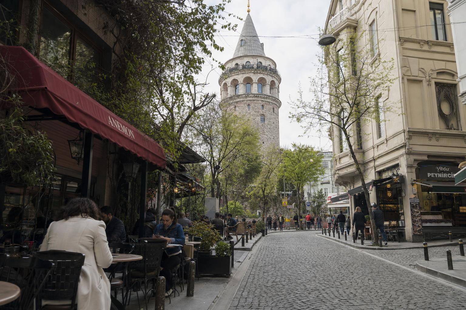
Galata rises just uphill from Karaköy. Official GoTürkiye destination pages highlight Galata for its iconic tower, compact lanes filled with shops and creative spaces, and panoramic city views. The short walk up from Karaköy is feasible for most; otherwise, check Metro Istanbul’s maps for nearest tram stops.
- Key Points: Galata Tower and surrounds, walkable hill, local eateries and boutiques. Ideal for a mid-morning or early lunch cultural break.
Afternoon: Transition to Beşiktaş via Kabataş
From Galata or Karaköy, make your way toward Beşiktaş, a bustling district noted for its mix of residential life, office clusters, and waterfront ferries, as detailed by GoTürkiye. The most direct rail/tram route is to first head to Kabataş—using the T1 tram or funicular connections mapped on Metro Istanbul’s official publications—then proceed to Beşiktaş.
- Key Points: Use the T1 tram (Kabataş–Bağcılar) with stops in Karaköy and Kabataş, and consult Metro Istanbul’s network maps for accurate line and transfer information. Walking from Kabataş to Beşiktaş along the waterfront is a pleasant and commonly taken option.
Evening: Beşiktaş – Local Food, Community, and Ferries
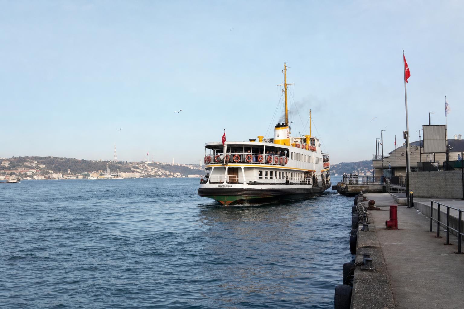
Beşiktaş’s square and waterfront offer places to relax after the workday. This area features in GoTürkiye’s destination highlights for its lively food scene and important transport role. Multiple ferry lines operate from Beşiktaş to other points across the Bosphorus, and its rail/tram and ferry terminals are shown in official networks to support onward travel.
- Key Points: Explore Beşiktaş’s eateries, stroll the public squares, and consider a ferry ride to enjoy the city by night. Use official network maps for transfer options.
Planning and Navigation Tips
- Metro Istanbul’s official interactive and PDF network maps display all metro and tram lines, transfer stations, and their relative distances to ferry points—always check these before your trip for route planning.
- All three neighborhoods are recognised as part of coherent urban clusters in GoTürkiye’s official guidance; this can help you choose which area suits your preferred work/leisure balance.
- Details such as venue Wi-Fi, co-working policies, and table availability are not covered in municipal guides; for these, consult local sources or individual venue websites.
Alternative Variations
Based on GoTürkiye’s area groupings and Metro Istanbul’s network maps, you could easily reverse this itinerary, start in Beşiktaş, or spend a half-day in any one of the neighborhoods. The proximity of tram, metro, and ferry access allows for flexible planning based on your own schedule.
What Remains Unverified
While official sources define the transport infrastructure and cluster these neighborhoods together as visitor hubs, comprehensive listings of café-level remote work amenities, ferry timetables, or real-time seat availability are not included. Always refer directly to operator pages or venue websites for those specifics.
Conclusion
This Bosphorus Flow itinerary supports productive days—and rewarding breaks—in Istanbul’s waterfront heart. By using official Istanbul tram, metro, and ferry transfer points between Karaköy, Galata, and Beşiktaş, you can confidently navigate a route that blends work with the best of local life, scenery, and culture. For up-to-date transport information, always refer to Metro Istanbul’s online network maps and GoTürkiye’s neighborhood guides.
Key takeaways
- Karaköy, Galata, and Beşiktaş each offer unique atmospheres for work, relaxation, and sightseeing.
- All three areas are connected via Istanbul’s official tram and metro networks, with ferry terminals easily accessible.
- Metro Istanbul’s transport maps are the definitive tools for planning cross-city journeys and intermodal transfers.
- Official tourism resources group these districts as accessible and visitor-friendly, making for smooth transitions throughout your day.
- For live updates or detailed cafe working conditions, consult venue websites or on-the-ground platforms not covered by official municipal sources.
Comparisons & planning
| Neighbourhood | Rail/Tram Access | Nearby Ferry Terminal | Main Attractions | Official Source |
|---|---|---|---|---|
| Karaköy | T1 Tram (Karaköy stop) | Karaköy pier | Galataport, cafés, riverside | goturkiye.com |
| Galata | Walk from Karaköy or nearby tram/metro stations | Short walk to Karaköy terminal | Galata Tower, art venues | goturkiye.com |
| Beşiktaş | Linked via Kabataş by tram/funicular; walk to Beşiktaş | Beşiktaş pier | Dining, ferry hub, squares | goturkiye.com |
Travel checklist
- Download or bookmark Metro Istanbul’s official network maps for route planning.
- Identify tram and metro stations closest to your intended starting point.
- If planning co-working or café stops, check the venue websites for amenity details.
- Allow time for walking between adjacent neighbourhoods—especially Karaköy and Galata.
- Check ferry connection points on the Istanbul transport map if considering Bosphorus crossings.
- Refer to GoTürkiye for current neighbourhood highlights and area groupings.
Frequently asked questions
Where can I find official maps for Istanbul’s metro and tram?
Official network maps are available on the Metro Istanbul website, including both web-based and downloadable PDF versions.
Is it easy to walk between Karaköy and Galata?
Yes, Galata is located on a hill just above Karaköy, and the walk is short but uphill. Check network maps for alternative tram or metro connections if needed.
Can I find direct ferry connections between these neighbourhoods?
While ferry terminals operate at Karaköy and Beşiktaş, ferry route details are outside Metro Istanbul's official remit. Use operator or local information for specific ferry routes.
Are there public transport links to support both work and leisure visits?
Yes, metro, tram, and ferry routes connect these districts, allowing flexible movement for work sessions and sightseeing. Refer to Metro Istanbul’s network maps for the latest interchange information.
Sources and research notes 2 sources
Based on official source material. Check provider websites for changing visitor details.
Conversation
Sign in or create an account to join the conversation.