Travel tips
Getting Around Tokyo, Japan: A Practical Guide to Public Transport
Tokyo, Japan boasts one of the world's most comprehensive public transport networks, blending trains, subways, buses, and more. This guide explains the structure of Tokyo’s system, how to navigate across different operators, and practical tips for visitors, all supported by official tourism sources.
AI illustration · Wardhead AI · AI-generated illustration
Introduction
Tokyo, Japan, is renowned for its efficient and interconnected public transport system, making even its sprawling cityscape accessible for visitors and locals alike. Navigating Tokyo's trains, subways, and buses can initially seem complex, but with a little preparation and understanding of how the networks work together, getting around becomes remarkably straightforward. This guide draws only from official tourism resources, ensuring up-to-date and accurate information for your Tokyo travels.
Understanding Tokyo’s Public Transport Network
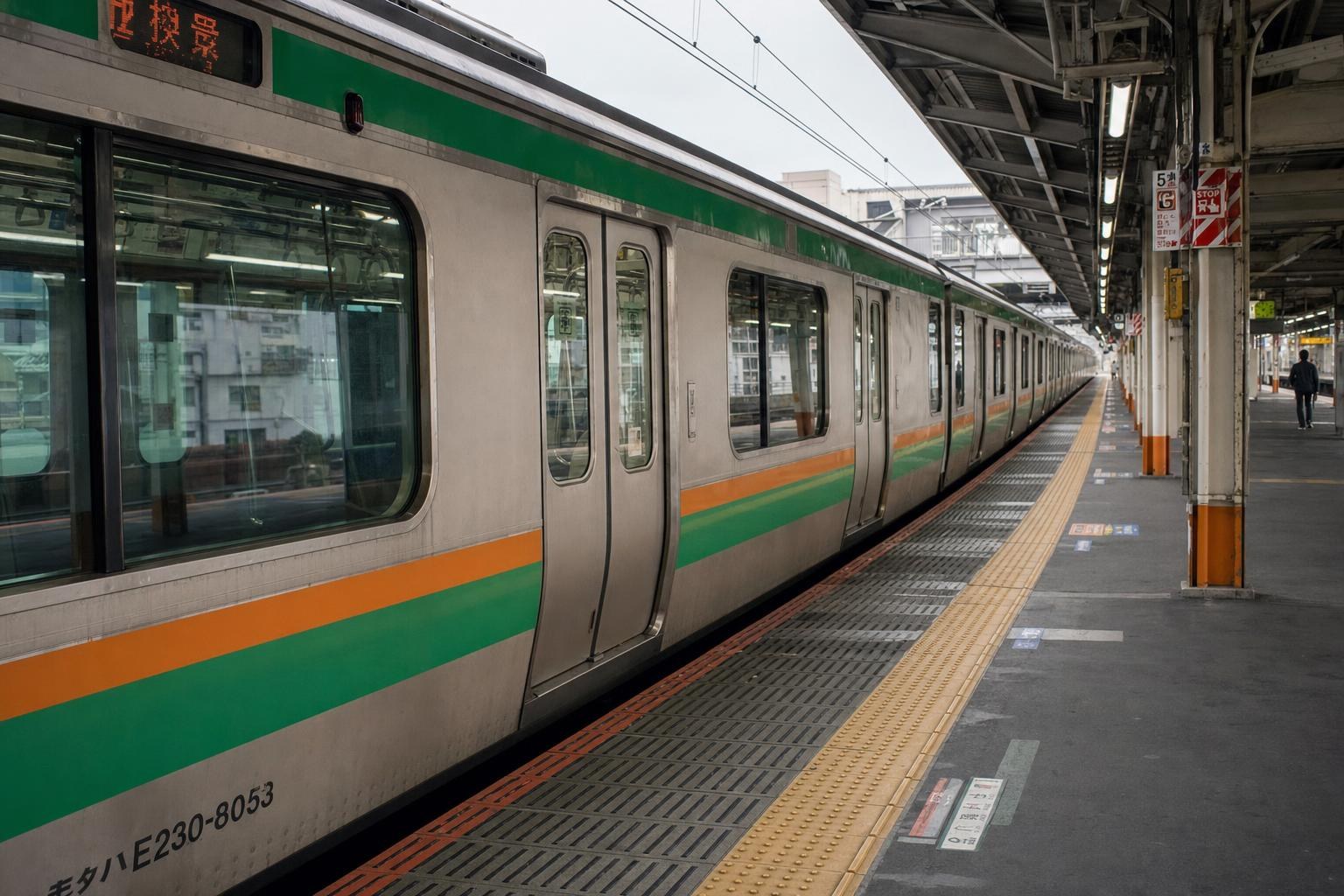
Tokyo’s public transport consists of a dense, multimodal system:
- JR East commuter rail (including the iconic Yamanote Line)
- Two independent subway operators: Tokyo Metro and Toei Subway
- Numerous private railway companies (like Odakyu, Keio, Keikyu, Tokyu, Tobu, Seibu)
- City and regional buses
- Waterbuses and river cruises
- Airport access rail links (serving both Haneda and Narita)
All of these networks are integrated through major interchanges, and most can be navigated using a single prepaid IC card or specific tourist passes. [Source: gotokyo.org/en/plan/getting-around/]
Key Operators and Subway Systems
The backbone of Tokyo’s urban travel is its rail and subway system:
- Tokyo Metro operates nine underground lines spanning the city’s business, shopping, and entertainment districts, with multilingual signage standard at stations.
- Toei Subway runs four additional lines, complementing Tokyo Metro's routes and extending the reach to even more neighborhoods.
- JR East’s Yamanote Line makes a circular loop that connects most of Central Tokyo’s key areas. Other JR lines provide trunk routes into the suburbs and connect through hubs such as Tokyo Station and Shinjuku.
Despite multiple operators, many stations are joint facilities and feature clear wayfinding in English and other languages. [Source: gotokyo.org/en/plan/getting-around/subways/index.html]
Major Hubs and Transfer Points
When traversing the city, certain stations serve as major transfer points where lines and operators converge:
- Tokyo Station: The city’s central railway hub, seamlessly linking JR lines, shinkansen (bullet trains), subway lines, and regional rail.
- Shinjuku and Shibuya: Bustling districts that feature connections between JR, Tokyo Metro, Toei Subway, and privately operated lines.
- Asakusa: Strategic for access to northeastern Tokyo, regional rail, airport connections, and waterbuses.
These hubs are ideal for changing between networks or transferring to airport express trains. [Source: gotokyo.org/en/destinations/central-tokyo/tokyo-station-and-marunouchi/]
Airport Connections
Both Narita and Haneda Airports are well connected to central Tokyo:
- Narita Airport: Linked by the JR Narita Express, Keisei Skyliner, and other private lines, all of which integrate with the broader Tokyo rail network.
- Haneda Airport: Served by Tokyo Monorail and Keikyu Line, both providing swift access into the city’s train system.
Arrival at either airport allows straightforward connections to any central neighborhood via integrated ticketing and regular departures. [Source: gotokyo.org/en/plan/getting-to-tokyo/]
Tickets, IC Cards, and Tourist Passes
Most visitors opt for rechargeable contactless IC cards, which allow easy access to nearly all trains, subways, and many buses across operators. These cards are available from stations across the city and allow touch-and-go entry/exit without having to buy a ticket for each ride.
Additionally, there are special tourist-only passes (for example, unlimited daily subway travel on both Tokyo Metro and Toei Subway), which are purchased at select locations and require proof of visitor status. Signs and ticket machines often include English and other language options for ease of use. [Source: gotokyo.org/en/plan/getting-around/subways/index.html]
Planning Your Journey: Maps and Resources
Official websites and visitor centers provide downloadable PDF maps that clearly show all operators’ lines, transfer stations, and important sightseeing areas. These maps include station numbering and inter-line connections, making route planning and navigating between neighborhoods manageable even for first-time visitors. For detailed station area guidance or accessibility, more focused official resources are also available. [Source: gotokyo.org/en/plan/getting-around/subways/documents/rotemap_ttg_lite_all_en.pdf]
Beyond the Train: Buses, Waterbuses, and Bicycles
While most trips within Tokyo will use the train or subway, buses fill gaps, especially in areas with limited rail access. City and regional buses connect residential neighborhoods and business districts, and are also compatible with IC cards.
For an alternative perspective, waterbuses and river sightseeing cruises operate along Tokyo’s waterways—especially popular between Asakusa and the Odaiba bay area.
Cycling is increasingly promoted for short distances, particularly in central districts. Visitors can locate rental bicycle facilities, often at major transport nodes, for a more leisurely way to explore at their own pace. [Source: gotokyo.org/en/plan/getting-around/]
Accessibility for All Travelers
Official guidance highlights a citywide commitment to accessible transport. Many stations and vehicles offer wheelchair access, elevators, and tactile surfaces. Some taxis are specially adapted (so-called "UD taxis"), and assistance can be booked through select operators. Detailed accessibility brochures are downloadable from Go Tokyo’s dedicated page. [Source: gotokyo.org/en/plan/accessibility/index.html]
Connections Beyond Tokyo: Regional and Long-Distance Travel
Tokyo’s rail system is not just for navigating the city—it links directly to major regional destinations and Japan’s world-famous shinkansen network. Major private rail operators (such as Odakyu and Keio) provide direct routes to regional attractions, day-trip areas, and commuter suburbs. [Source: gotokyo.org/en/plan/getting-around/subways/index.html]
Practical Planning Tips
- Combine rail, subway, and buses using IC cards for maximum convenience; you do not need to buy paper tickets for each segment on most routes.
- Utilize major hubs like Tokyo Station and Shinjuku for flexible transfers and access to wide-ranging destinations.
- Tourist passes can offer savings, but confirm their validity zones carefully as some only cover subways and not JR or private lines.
- Consult the official downloadable PDF maps (found on Go Tokyo) before travel, and consider printing your route or saving to your device.
- Most station names, signs, and ticket machines offer English support; look for multilingual touch screen kiosks for IC card reload and ticket purchases.
Unverified or Unavailable Details
Official tourism pages do not list live prices, minute-by-minute timetables, or exhaustive legal/medical regulations. For real-time departures, fare calculation or legal travel rules, refer directly to specific operator websites or government resources.
Conclusion
Tokyo’s public transport system is a benchmark for reliability, coverage, and visitor-friendliness. With a variety of operators, seamless transfer options, and multilingual support, even first-time visitors can move confidently between iconic landmarks, neighborhoods, and outlying areas. Start your journey by picking up an IC card, downloading an official map, and enjoying one of the world’s most dynamic urban experiences.
Sources and research notes 1 sources
Based on official source material. Check provider websites for changing visitor details.
Conversation
Sign in or create an account to join the conversation.